
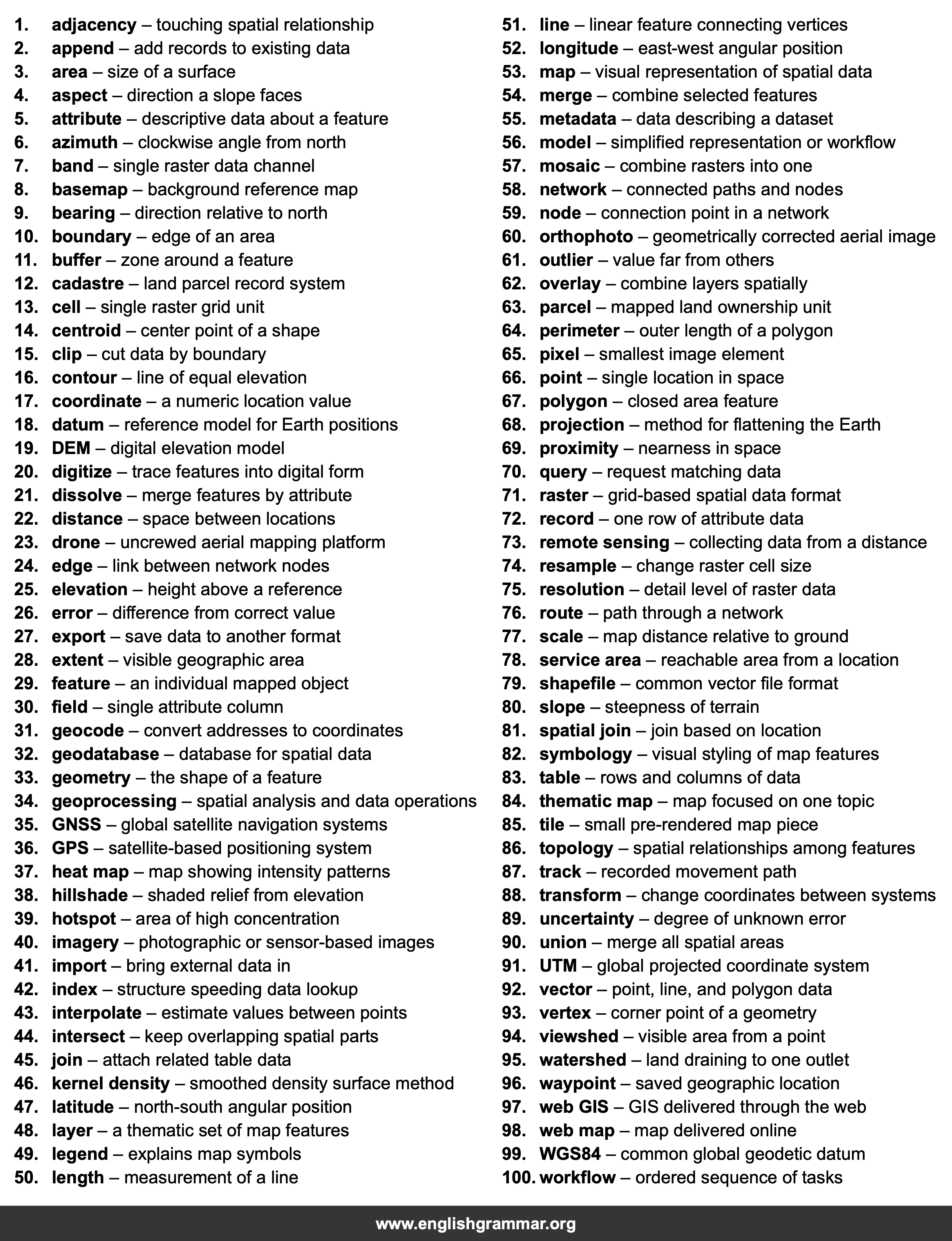
| No. | Item | Definition |
|---|---|---|
| 1. | adjacency | touching spatial relationship |
| 2. | append | add records to existing data |
| 3. | area | size of a surface |
| 4. | aspect | direction a slope faces |
| 5. | attribute | descriptive data about a feature |
| 6. | azimuth | clockwise angle from north |
| 7. | band | single raster data channel |
| 8. | basemap | background reference map |
| 9. | bearing | direction relative to north |
| 10. | boundary | edge of an area |
| 11. | buffer | zone around a feature |
| 12. | cadastre | land parcel record system |
| 13. | cell | single raster grid unit |
| 14. | centroid | center point of a shape |
| 15. | clip | cut data by boundary |
| 16. | contour | line of equal elevation |
| 17. | coordinate | a numeric location value |
| 18. | datum | reference model for Earth positions |
| 19. | DEM | digital elevation model |
| 20. | digitize | trace features into digital form |
| 21. | dissolve | merge features by attribute |
| 22. | distance | space between locations |
| 23. | drone | uncrewed aerial mapping platform |
| 24. | edge | link between network nodes |
| 25. | elevation | height above a reference |
| 26. | error | difference from correct value |
| 27. | export | save data to another format |
| 28. | extent | visible geographic area |
| 29. | feature | an individual mapped object |
| 30. | field | single attribute column |
| 31. | geocode | convert addresses to coordinates |
| 32. | geodatabase | database for spatial data |
| 33. | geometry | the shape of a feature |
| 34. | geoprocessing | spatial analysis and data operations |
| 35. | GNSS | global satellite navigation systems |
| 36. | GPS | satellite-based positioning system |
| 37. | heat map | map showing intensity patterns |
| 38. | hillshade | shaded relief from elevation |
| 39. | hotspot | area of high concentration |
| 40. | imagery | photographic or sensor-based images |
| 41. | import | bring external data in |
| 42. | index | structure speeding data lookup |
| 43. | interpolate | estimate values between points |
| 44. | intersect | keep overlapping spatial parts |
| 45. | join | attach related table data |
| 46. | kernel density | smoothed density surface method |
| 47. | latitude | north-south angular position |
| 48. | layer | a thematic set of map features |
| 49. | legend | explains map symbols |
| 50. | length | measurement of a line |
| 51. | line | linear feature connecting vertices |
| 52. | longitude | east-west angular position |
| 53. | map | visual representation of spatial data |
| 54. | merge | combine selected features |
| 55. | metadata | data describing a dataset |
| 56. | model | simplified representation or workflow |
| 57. | mosaic | combine rasters into one |
| 58. | network | connected paths and nodes |
| 59. | node | connection point in a network |
| 60. | orthophoto | geometrically corrected aerial image |
| 61. | outlier | value far from others |
| 62. | overlay | combine layers spatially |
| 63. | parcel | mapped land ownership unit |
| 64. | perimeter | outer length of a polygon |
| 65. | pixel | smallest image element |
| 66. | point | single location in space |
| 67. | polygon | closed area feature |
| 68. | projection | method for flattening the Earth |
| 69. | proximity | nearness in space |
| 70. | query | request matching data |
| 71. | raster | grid-based spatial data format |
| 72. | record | one row of attribute data |
| 73. | remote sensing | collecting data from a distance |
| 74. | resample | change raster cell size |
| 75. | resolution | detail level of raster data |
| 76. | route | path through a network |
| 77. | scale | map distance relative to ground |
| 78. | service area | reachable area from a location |
| 79. | shapefile | common vector file format |
| 80. | slope | steepness of terrain |
| 81. | spatial join | join based on location |
| 82. | symbology | visual styling of map features |
| 83. | table | rows and columns of data |
| 84. | thematic map | map focused on one topic |
| 85. | tile | small pre-rendered map piece |
| 86. | topology | spatial relationships among features |
| 87. | track | recorded movement path |
| 88. | transform | change coordinates between systems |
| 89. | uncertainty | degree of unknown error |
| 90. | union | merge all spatial areas |
| 91. | UTM | global projected coordinate system |
| 92. | vector | point, line, and polygon data |
| 93. | vertex | corner point of a geometry |
| 94. | viewshed | visible area from a point |
| 95. | watershed | land draining to one outlet |
| 96. | waypoint | saved geographic location |
| 97. | web GIS | GIS delivered through the web |
| 98. | web map | map delivered online |
| 99. | WGS84 | common global geodetic datum |
| 100. | workflow | ordered sequence of tasks |