
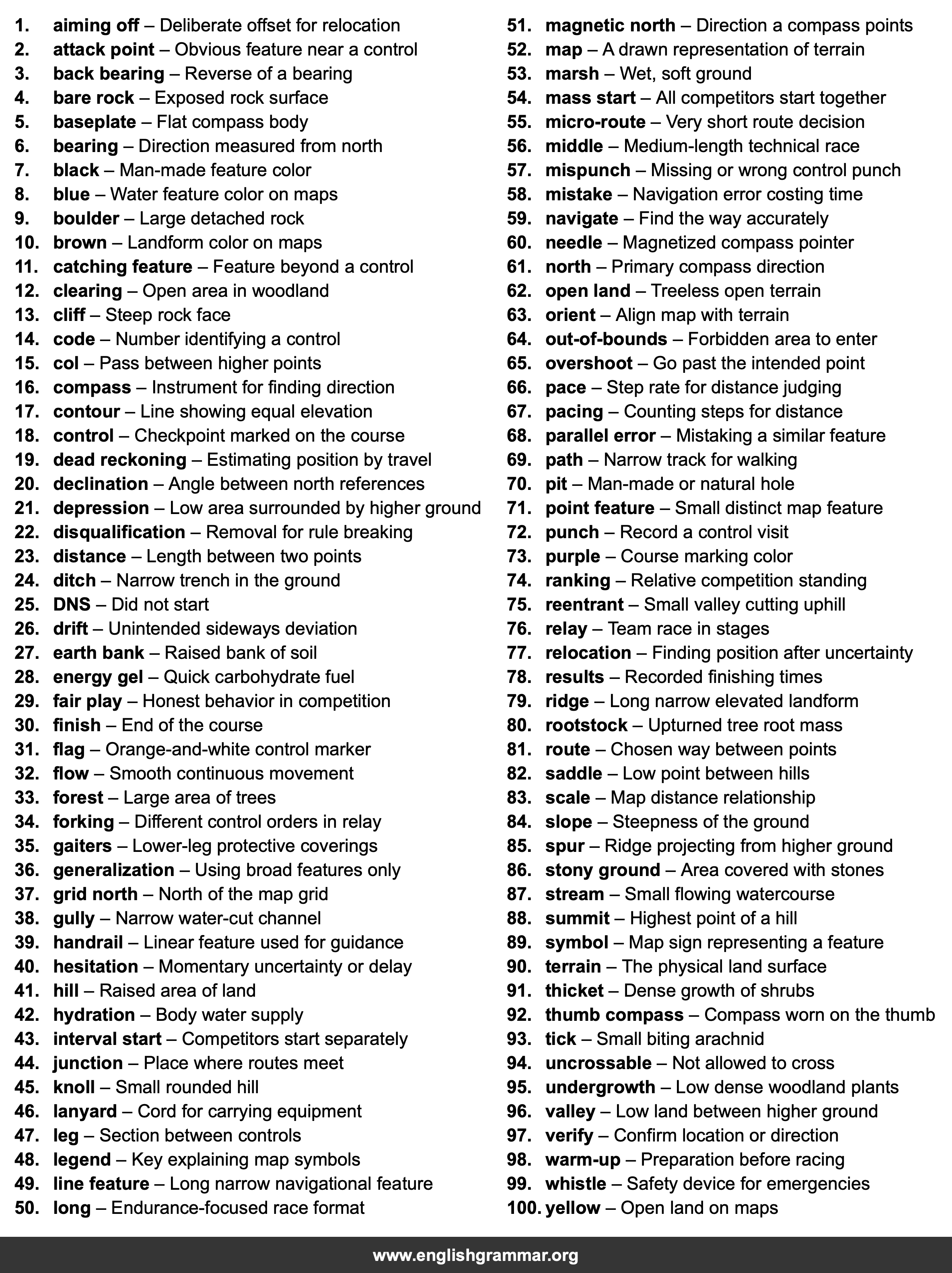
| No. | Item | Definition |
|---|---|---|
| 1. | aiming off | Deliberate offset for relocation |
| 2. | attack point | Obvious feature near a control |
| 3. | back bearing | Reverse of a bearing |
| 4. | bare rock | Exposed rock surface |
| 5. | baseplate | Flat compass body |
| 6. | bearing | Direction measured from north |
| 7. | black | Man-made feature color |
| 8. | blue | Water feature color on maps |
| 9. | boulder | Large detached rock |
| 10. | brown | Landform color on maps |
| 11. | catching feature | Feature beyond a control |
| 12. | clearing | Open area in woodland |
| 13. | cliff | Steep rock face |
| 14. | code | Number identifying a control |
| 15. | col | Pass between higher points |
| 16. | compass | Instrument for finding direction |
| 17. | contour | Line showing equal elevation |
| 18. | control | Checkpoint marked on the course |
| 19. | dead reckoning | Estimating position by travel |
| 20. | declination | Angle between north references |
| 21. | depression | Low area surrounded by higher ground |
| 22. | disqualification | Removal for rule breaking |
| 23. | distance | Length between two points |
| 24. | ditch | Narrow trench in the ground |
| 25. | DNS | Did not start |
| 26. | drift | Unintended sideways deviation |
| 27. | earth bank | Raised bank of soil |
| 28. | energy gel | Quick carbohydrate fuel |
| 29. | fair play | Honest behavior in competition |
| 30. | finish | End of the course |
| 31. | flag | Orange-and-white control marker |
| 32. | flow | Smooth continuous movement |
| 33. | forest | Large area of trees |
| 34. | forking | Different control orders in relay |
| 35. | gaiters | Lower-leg protective coverings |
| 36. | generalization | Using broad features only |
| 37. | grid north | North of the map grid |
| 38. | gully | Narrow water-cut channel |
| 39. | handrail | Linear feature used for guidance |
| 40. | hesitation | Momentary uncertainty or delay |
| 41. | hill | Raised area of land |
| 42. | hydration | Body water supply |
| 43. | interval start | Competitors start separately |
| 44. | junction | Place where routes meet |
| 45. | knoll | Small rounded hill |
| 46. | lanyard | Cord for carrying equipment |
| 47. | leg | Section between controls |
| 48. | legend | Key explaining map symbols |
| 49. | line feature | Long narrow navigational feature |
| 50. | long | Endurance-focused race format |
| 51. | magnetic north | Direction a compass points |
| 52. | map | A drawn representation of terrain |
| 53. | marsh | Wet, soft ground |
| 54. | mass start | All competitors start together |
| 55. | micro-route | Very short route decision |
| 56. | middle | Medium-length technical race |
| 57. | mispunch | Missing or wrong control punch |
| 58. | mistake | Navigation error costing time |
| 59. | navigate | Find the way accurately |
| 60. | needle | Magnetized compass pointer |
| 61. | north | Primary compass direction |
| 62. | open land | Treeless open terrain |
| 63. | orient | Align map with terrain |
| 64. | out-of-bounds | Forbidden area to enter |
| 65. | overshoot | Go past the intended point |
| 66. | pace | Step rate for distance judging |
| 67. | pacing | Counting steps for distance |
| 68. | parallel error | Mistaking a similar feature |
| 69. | path | Narrow track for walking |
| 70. | pit | Man-made or natural hole |
| 71. | point feature | Small distinct map feature |
| 72. | punch | Record a control visit |
| 73. | purple | Course marking color |
| 74. | ranking | Relative competition standing |
| 75. | reentrant | Small valley cutting uphill |
| 76. | relay | Team race in stages |
| 77. | relocation | Finding position after uncertainty |
| 78. | results | Recorded finishing times |
| 79. | ridge | Long narrow elevated landform |
| 80. | rootstock | Upturned tree root mass |
| 81. | route | Chosen way between points |
| 82. | saddle | Low point between hills |
| 83. | scale | Map distance relationship |
| 84. | slope | Steepness of the ground |
| 85. | spur | Ridge projecting from higher ground |
| 86. | stony ground | Area covered with stones |
| 87. | stream | Small flowing watercourse |
| 88. | summit | Highest point of a hill |
| 89. | symbol | Map sign representing a feature |
| 90. | terrain | The physical land surface |
| 91. | thicket | Dense growth of shrubs |
| 92. | thumb compass | Compass worn on the thumb |
| 93. | tick | Small biting arachnid |
| 94. | uncrossable | Not allowed to cross |
| 95. | undergrowth | Low dense woodland plants |
| 96. | valley | Low land between higher ground |
| 97. | verify | Confirm location or direction |
| 98. | warm-up | Preparation before racing |
| 99. | whistle | Safety device for emergencies |
| 100. | yellow | Open land on maps |